
Drone-Based Ecological Survey & Monitoring
WildTech Ecology uses drone surveys integrated with GIS analysis and mapping to support Biodiversity Net Gain and Landscape Recovery projects requiring landscape-scale assessment and repeat monitoring. Outputs are provided in clear, GIS-ready formats to support baseline assessment, comparison over time and onward reporting.
Services include:
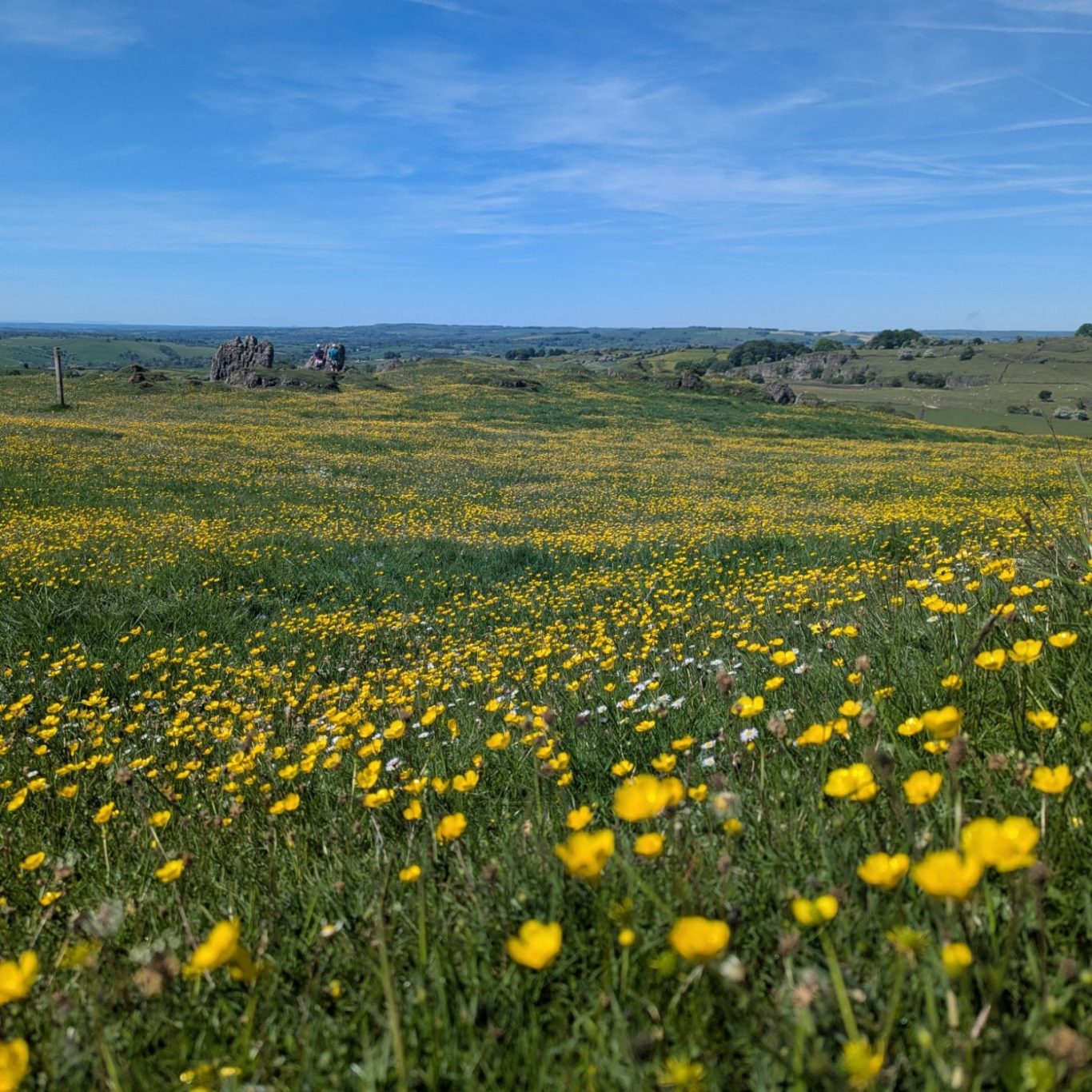
Large-scale habitat mapping using high-resolution aerial imagery.
Orthomosaic mapping to support BNG baselines and change detection.
River and riparian corridor surveys across linear and complex sites.
Targeted drone surveys to support assessment of specific features or species groups (e.g. INNS, mammals).
Building and tree inspections to identify potential bat and bird features.
Drone-assisted waterbody sampling to support eDNA surveys.
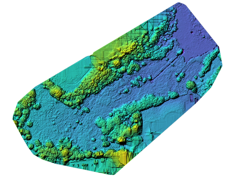
GIS & Spatial Ecological Analysis
WildTech Ecology provides GIS-based analysis and mapping to support interpretation, presentation and monitoring of ecological data. GIS outputs are used to integrate habitat, species and survey datasets, providing clear spatial context to support decision-making, monitoring and reporting.
Services include:
Integration of habitat, species and survey datasets within GIS.
Production of clear, publication-ready maps and figures.
Spatial summaries and analysis to identify patterns and relationships.
Mapping to support habitat management and monitoring programmes.
Preparation of GIS outputs for technical reports and evidence packages.
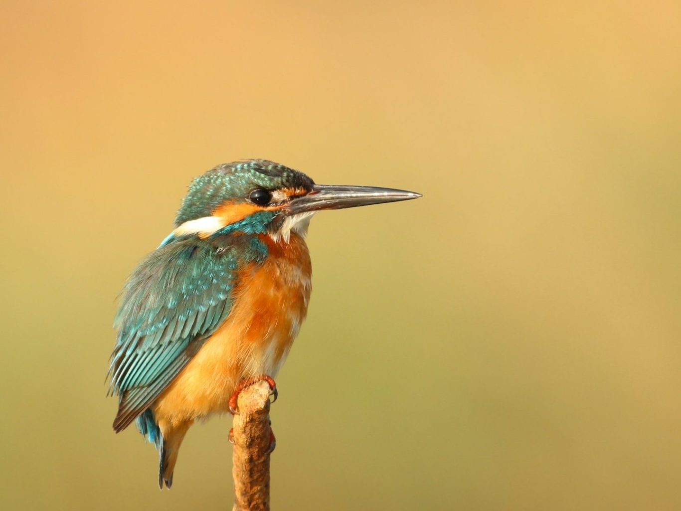
Bird Surveys & Acoustic Monitoring
WildTech Ecology provides bird surveys across breeding, wintering and migratory periods, combining established ornithological field methods with passive acoustic monitoring (PAM) survey design and deployment advice. Field and acoustic evidence are integrated to support clear interpretation and repeat monitoring.
Services include:
Breeding bird surveys, including territory mapping.
Vantage point surveys and targeted species surveys.
Wintering bird surveys and seasonal counts.
Licenced barn owl surveys for development.
Combined PAM and traditional bird survey design, scoping and deployment strategy.
Survey outputs structured to support baseline datasets and reporting.
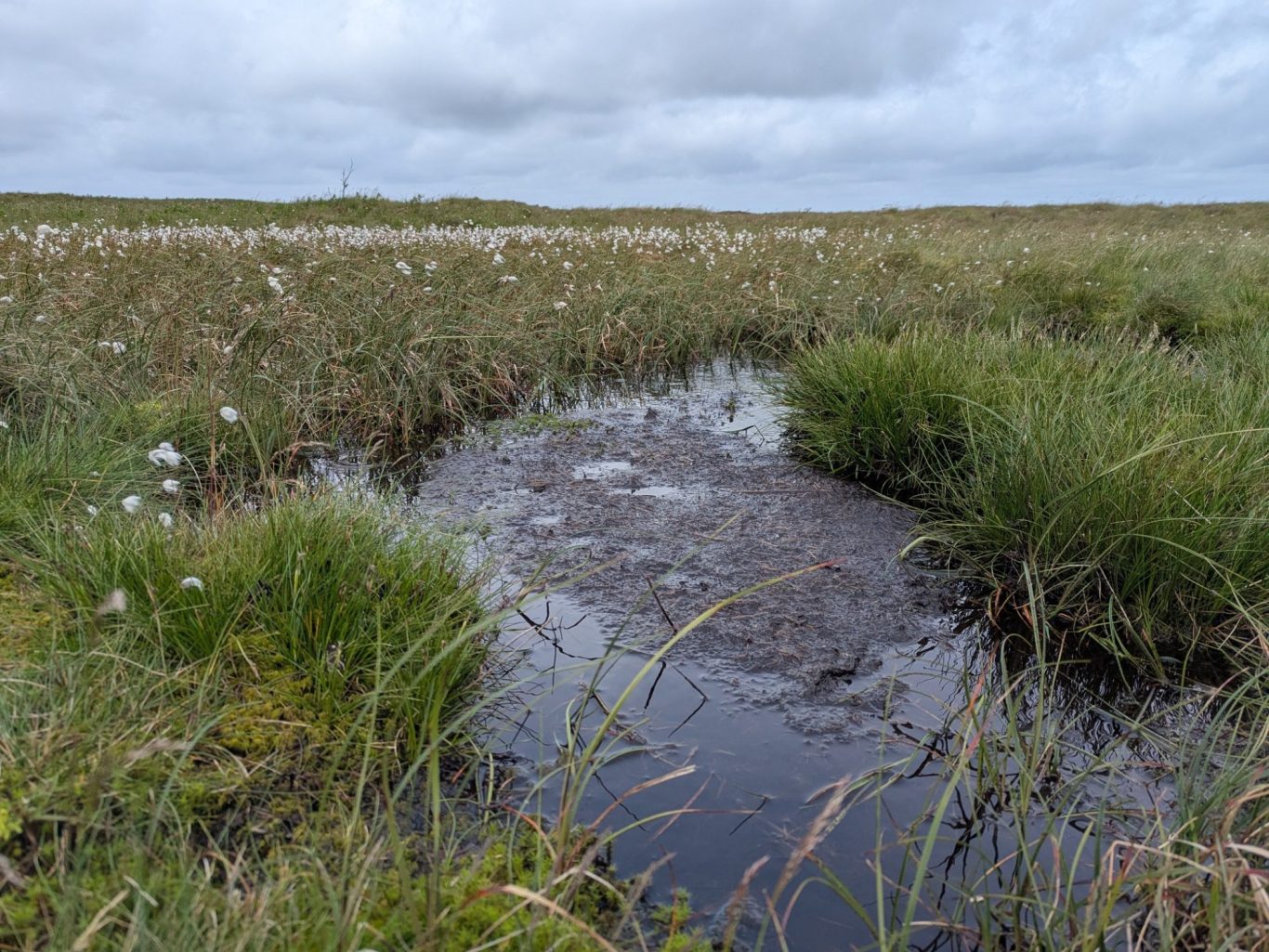
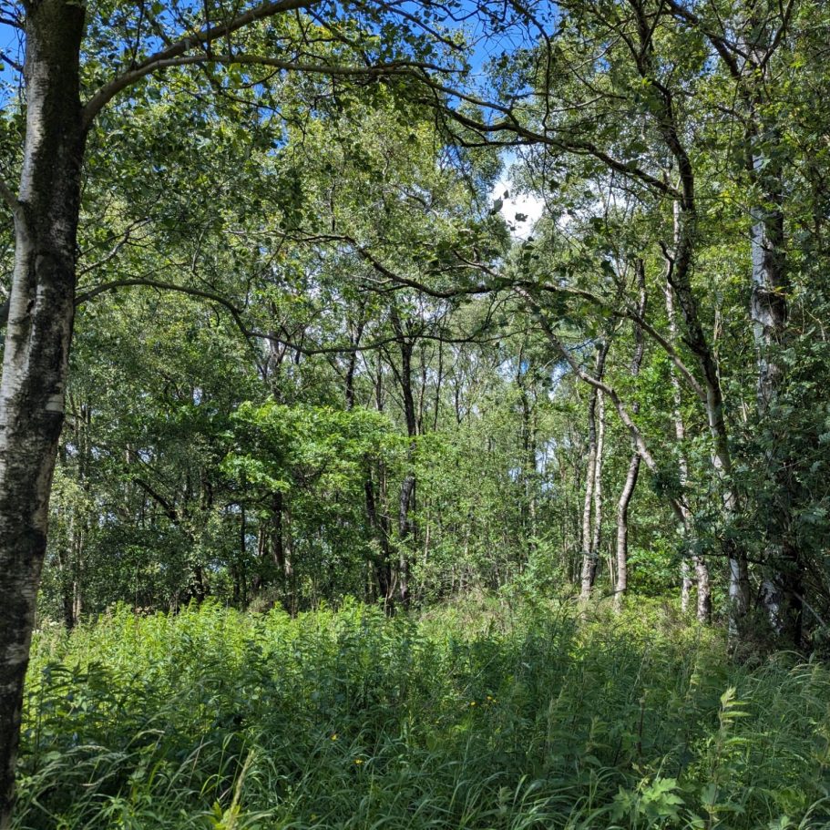
Habitat & Botanical Surveys
WildTech Ecology provides habitat, botanical and river surveys delivered by a FISC Level 4 botanist and a MoRPh / River Habitat Survey–accredited surveyor, supporting assessment and monitoring across terrestrial and riverine habitats, from large-scale moorland sites to targeted habitat surveys. Surveys can be delivered to UKHab, NVC, BNG and other specified survey protocols, with outputs integrating clearly with GIS and wider ecological datasets.
Services include:
UKHab habitat mapping and Defra Metric condition assessment.
National Vegetation Classification (NVC) survey.
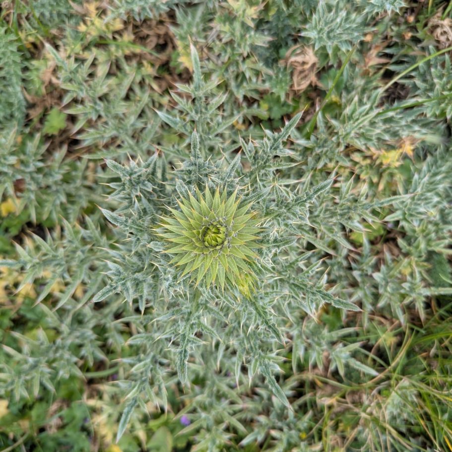
Targeted botanical surveys and vegetation analysis (RMavis).
River Habitat Surveys or MoRPh assessments.
Baseline habitat surveys to support BNG, mitigation design and monitoring.